


Lot n° 259
Estimation :
2200 - 2500
EUR
CAPITAINE DU CHESNOY (L.) & CHANLAIRE (P. G.). Chorograp - Lot 259
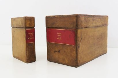
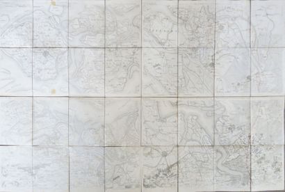
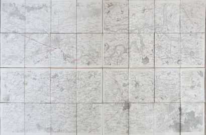
CAPITAINE DU CHESNOY (L.) & CHANLAIRE (P. G.). Chorographic map of Belgium. Paris, 1796-1797. 2 in-8 and oblong in-8 slipcases uniformly bound in lemon morocco, smooth spines, gilt titles on red morocco title-pieces, fine roulette framing the spine and boards (period binding).
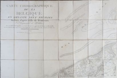
New version of the sixty-nine-sheet chorographic map of Belgium based on Ferraris' map, enlarged and published by Capitaine and Chanlaire. Scale 40,000 toises / 80,000 meters.
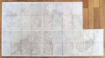
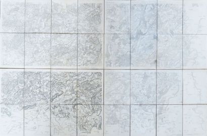
The set includes 17 folded canvas maps with color highlights, 62 x 92 cm in size, and an assembly table: Title - North Sea (2) - Mariakerke (9) - Ostend (10) ; Walcheren (3) - Berg-op-zoom (4) - Sas-de-Gand (11) - Antwerp (12) ; Breda (5) - Eyndhoven (6) - Turnhout (13) - Hammont (14) ; Helmond (7) - Wesel (8) - Venlo et Ruremonde (15) - Ordingen (16) ; Newport (17) - Thorout (18) - Ypres (25) - Courtrai (26) ; Gand (19) - Malines (20) - Audenaerde (27) - Bruxelles (28) ; Diest (21) - Beringen (22) - Louvain (29) -Tongres (30) ; Stockem (23) - Dussedorf (24) - Maastricht (31) - Juliers (32) ; Cassel (33) - Tournay (34) - Orchie (41) ; Ath (35) - Nivelles (36) - Mons (42) - Charleroi (43) ; Pervez-le-marchez (37) - Liège (38) - Namur (44) - Durbuy (45) ; Limbourg (39) - Schleyden (40) - Stavelot (46) - Cronenbourg (47) ; Bavay (48) - Beaumont (49) - Chimay (54) ; Dinant (50) - Marche (51) - Rocroy (55) - St-Hubert (56) ; Houffalize (52) - Malberg (53) - Bastogne (57) - Bitbourg (58) - Heydweiller (58bis) ; Orchimont (59) -Neufchateau (60) -Virton (63) ; Arlon (61) - Echternach (62) -Esch (64) - Luxembourg (65).
Louis Capitaine (1749-1797), first Engineer of the General Map of the French Republic at the Paris Observatory, was the author of a reworking of Cassini's Grande Carte de France, to which he naturally added a reworking of Ferraris' map, thus encompassing the new Belgian departments. He carried out this work in association with Pierre-Grégoire Chanlaire (1758-1817).
The Carte chorographique de Belgique was drawn up at the beginning of the French military presence in Belgium between 1792 and 1796, just before the official annexation of the Austrian Netherlands and the Principality of Liège to the French Republic on October 1, 1795. The table assembling the 65 maps shows the boundaries of the French departments in force in 1794.
A fine copy.
Expert : Madame Elvire POULAIN-MARQUIS
My orders
Sale information
Sales conditions
Return to catalogue